Apollonia National Park in Herzliya: The Crusader Fortress on the Cliff, Tickets and Hours
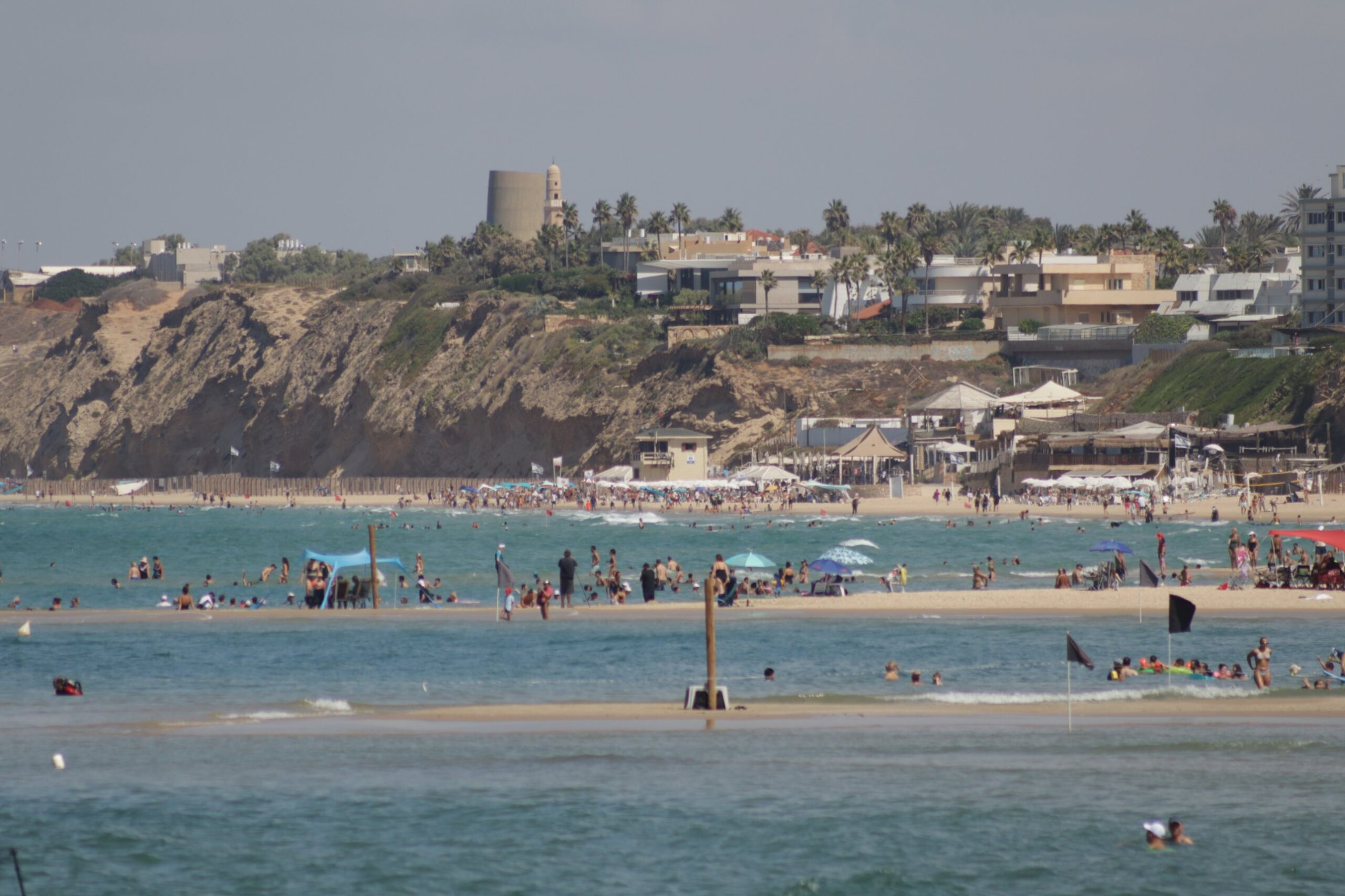
At the northern end of Herzliya the coast rises into a ridge of kurkar, the soft sandstone that lines much of Israel's shore. On top of it, right at the edge, stand the remains of a Crusader fortress with a dry moat cut into the rock. Below, the beach and the sea. Behind, the villas of Herzliya Pituach.
This is Apollonia National Park, known in Hebrew as Tel Arsuf. It holds some 1,700 years of settlement on one small headland, and it's the best single reason for a visitor to come to Herzliya rather than just pass through.
Five names for one town
The town first shows up in the record in the 4th century BC, at the end of the Persian period, under the Greek name Apollonia. A long-standing theory holds that the Greeks named it after Apollo because he matched Reshef, the Canaanite god worshipped here before them.
Under the Romans it grew into the main trading and industrial town between the Yarkon and Poleg rivers. A seaside villa from the 1st century AD, destroyed in an earthquake around 118, has been excavated below the cliff. In the Byzantine period the town became Sozousa, "city of the Saviour", the seat of a bishop, and a glass furnace from the 6th century still stands near the park entrance.
Muslim armies took it in 640 and called it Arsuf. Then came the Crusaders. Baldwin I captured the town in 1101 or 1102. Saladin's forces took it back in 1187, and the Crusaders regained it after Richard the Lionheart beat Saladin at the Battle of Arsuf on 7 September 1191, fought on the coastal plain nearby.
In 1241 the town's lord, Balian of Arsuf, built the fortress you see today, along with a small harbour at the foot of the cliff. It lasted 24 years. In 1265 the Mamluk sultan Baybars besieged Arsuf for 40 days, took it, and razed it. Nobody rebuilt the town.
What you see on the site
The fortress itself is the centrepiece: a gate, the base of a keep, vaulted halls and three lines of defence, with a moat about 4.5 metres deep. Stand on the western wall and you're looking straight down the cliff to the water.
A coastal path leads down towards the Roman villa and follows the line of the old city wall. A shorter circular trail runs from the car park to the main ruins. The cliff path is not wheelchair accessible.
The park opened to the public in 2002, after years of excavation led by Israel Roll of Tel Aviv University, whose team worked here from 1977 to 2006.
Sidna Ali next door
Just south of the park is the Sidna Ali mosque, built over the tomb of Ali ibn Alim, a local Muslim saint and scholar who died in 1081. The present buildings go back mostly to the 15th century. It's still an active mosque and draws Arab pilgrims from Jaffa, Ramla and the Galilee, mostly on Fridays. If you go in, dress modestly.
Tickets and hours
As listed by the Israel Nature and Parks Authority in October 2026, adult entry is 24 shekels and children pay 10. Students pay 20 and Israeli senior citizens 12.
The park opens at 08:00. In summer it closes at 17:00, or 16:00 on Fridays and holiday eves. In winter it closes at 16:00, or 15:00 on Fridays. Last entry is an hour before closing. The parks authority recommends booking a slot online in advance, and that's worth doing on weekends and holidays.
There's a car park, toilets and a picnic area, but no fires. The ridge is exposed, with little shade, so in summer go early or in the last two hours before closing, when the light over the sea turns gold.
For another Herodian-era coastal site a short drive north, see Caesarea Maritima on Travel Magazine.